http://journals.eecs.qub.ac.uk/codata/journal/contents/4_05/4_05pdfs/ds371.pdf
http://www.springerlink.com/content/978-3-642-03441-1#section=673757&page=1
http://www.amazon.co.uk/Children-Map-World-Selections-Competition/dp/1589482468/ref=sr_1_1?s=books&ie=UTF8&qid=1289234683&sr=1-1
http://www.amazon.co.uk/Geographic-Information-Cartography-Crisis-Management/dp/3642034411/ref=sr_1_2?s=books&ie=UTF8&qid=1289234683&sr=1-2
http://www.informatik.uni-trier.de/~ley/db/indices/a-tree/b/Bandrova:Temenoujka.html
http://www.vector1media.com/events/event-coverage/14436-3rd-isde-digital-earth-summit-a-ica-gis
http://www.cartography-gis.com/pdf/Bandrova_Keynote.pdf
http://www.cartography-gis.com/pdf/Bandrova_Bonchev_Bulgaria_paper.pdf
http://www.gdmc.nl/zlatanova/thesis/html/refer/ps/sz_tb98.pdf
http://www.cartesia.org/geodoc/icc2005/pdf/oral/TEMA21/Session%201/TEMENOUJKA%20BANDROVA.pdf
http://www.cartogis.org/docs/proceedings/2008/bandrova_stanislav.pdf
http://lazarus.elte.hu/ccc/10years/ea/teme1.pdf
http://www.cartesia.es/geodoc/icc2005/pdf/poster/TEMA20/TEMENOUJKA%20BANDROVA.pdf
http://www.kartografija.hr/tl_files/Savjetovanje/Prezentacije/Split_2011/Bandrova_eng.pdf
http://icaci.org/documents/ICC_proceedings/ICC2011/Oral%20Presentations%20PDF/A3-Maps,%20GIS%20&%20hazards%20and%20disasters/CO-019.pdf
2014 г.
1. Пашова Л, Бандрова Т. Дали България постига европейски измерими резултати при прилагане на директивата INSPIRE. Геомедия, бр. 1, 2014 г., ISSN 1313-3365, стр. 38-45. http://www.geomedia.bg/index.php/article:1127
2. Bandrova T. (Invited presentation) Mapping Standards Principles and Proposal for Disaster Management. Special ICA Session, INTERGEO Eurasia, Istanbul 28-29 April 2014
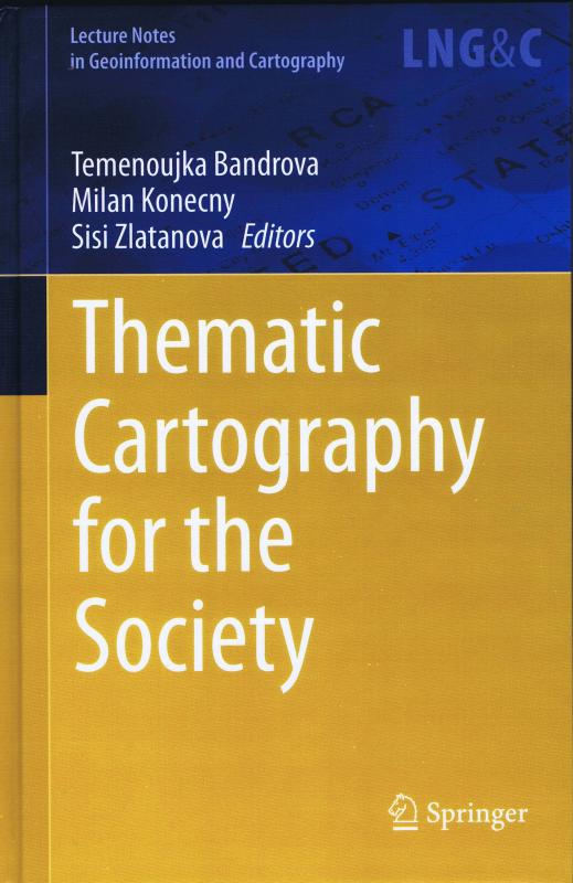
3. Bandrova, T., Konecny, M., Zlatanova, S. (Eds.) Thematic Cartography for the Society ISBN 978-3-319-08180-9, Series: Lecture Notes in Geoinformation and Cartography, 2014, XV, 357 p. 131 illus. ISSN 1863-2246 ISSN 1863-2351 (electronic) ISBN 978-3-319-08179-3 ISBN 978-3-319-08180-9 (eBook) DOI 10.1007/978-3-319-08180-9 Springer Cham Heidelberg New York Dordrecht London
http://www.springer.com/earth+sciences+and+geography/geographical+information+systems/book/978-3-319-08179-3
4. Bandrova T., Konecny M., Introduction, 5th International Conference on Cartography and GIS, e-Proceedings, publisher: Bulgarian Cartographic Association, 2014, Riviera, Bulgaria, ISSN 1314-0604, pp. 9-10, http://www.cartography-gis.com/docsbca/5ICCandGIS_Proceedings.pdf
5. Bandrova T., Konecny, Yotova A., Cartography Development and Challenges on the Basis of Big Data 5th International Conference on Cartography and GIS, e-Proceedings, publisher: Bulgarian Cartographic Association, 2014, Riviera, Bulgaria, ISSN 1314-0604, pp. 164-173, http://cartography-gis.com/docsbca/5ICCandGIS_Proceedings.pdf
6. Deeb R., Bonchev S., Bandrova T., De Maeyer Ph., How to Design User’ Friendly Multilingual Maps? Cyrillic and Latin Labels, 5th International Conference on Cartography and GIS, e-Proceedings, publisher: Bulgarian Cartographic Association, 2014, Riviera, Bulgaria, ISSN 1314-0604, pp. 211-219, http://cartography-gis.com/docsbca/5ICCandGIS_Proceedings.pdf
7. Savova D., Bandrova T., 3D Mapping of Mountain Territories - Virtual Visualization by 3D Symbol System, 5th International Conference on Cartography and GIS, e-Proceedings, publisher: Bulgarian Cartographic Association, 2014, Riviera, Bulgaria, ISSN 1314-0604, pp. 388-396, http://cartography-gis.com/docsbca/5ICCandGIS_Proceedings.pdf
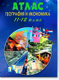
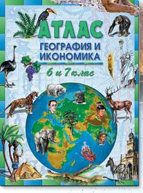
8; Bandrova T. Atlas on Geography and Economics, 11.-12. Grades, DataMap-Europe Ltd., Sofia, pages 80, 2014, ISBN: 978-954-519-015-5.
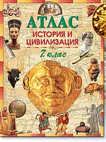
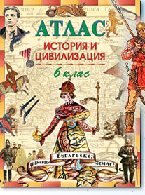
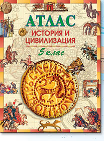
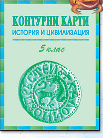
9. Matanov Hr., Bandrova T., Atlas on History and Civilization, 5. Grates, DataMap-Europe Ltd., Sofia, pages 32, 2014, ISBN: 978-954-519-021-6.
Reviews:
1. Real-time Raster Projection For Web Maps, blind review for ISDE, Taylor&Francis, 2014
2013 г.
1. Боянова К., Бандрова Т., 3D картографиране за нуждите на архитектурата, Геомедия, брой 1, 2013, стр. 30-36, ISSN 1313-3365. http://www.geomedia.bg/index.php/article:945
2. Bandrova,T., Konecny, M.: Mapping Standards Principles and Proposals for Disaster Management. Proceedings, CEGeoIC Bogota, Feb. 6-8, 2013, International Conference on Environmental Information and Communication, ISBN 978-3-00-040771-0, CODATA-Germany LNIS, pp. 135-145, http://www.codata-germany.org/
3. Бандрова Т., Лабораторията по картография в УАСГ вече носи името на проф. д-р инж. Бенямин Коен, сп. Геомедия, бр. 3, 2013, стр. 52-53, ISSN 1313-3365
4. Бандрова Т., Вацева, Р., Осми национален конкурс за детска карта "Моето място в съвременния свят". сп. Геомедия, бр. 3, 2013, стр. 25-27, ISSN 1313-3365
5. Bandrova T., 3D Cartographic Modeling in Educational Process, 26th International Cartographic Conference, 25-30 August 2013, Dresden, Germany, On-line Proceedings, ISBN 978-1-907075-06-3
http://www.icc2013.org/_contxt/_medien/_upload/_proceeding/39_proceeding.pdf
6. Bandrova T., Bonchev St., 3D maps – scale, accuracy, level of details, 26th International Cartographic Conference, 25-30 August 2013, Dresden, Germany, On-line Proceedings, ISBN 978-1-907075-06-3
http://www.icc2013.org/_contxt/_medien/_upload/_proceeding/76_proceeding.pdf
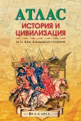
7. Бандрова Т., Дюлгеров Н. Атлас История и цивилизация 10. клас, идз. ДатаМап-Европа, 48 стр. ISBN 978-954-519-049-0
8. Bandrova T., Konecny M. Digital Earth – Young Generation’s Comprehension and Ideas, 8th International Symposium on Digital Earth, 26-29. 08. 2013, Kuching, Sarawak, Malaysia, On-line Proceedings, IOP Conf. Series: Earth and Environmental Science 18 (2014) 012007, doi:10.1088/1755-1315/18/1/012007, http://iopscience.iop.org/1755-1315/18/1/012007
9. Pashova L., Bandrova T., Kastreva P, Idrizi B. Prospects for the development of Web Geo-Services between Bulgaria and FYROM by applying the INSPIRE directive. INSPIRE and integrated land & water management scientific workshop. SDI Days 2013, Proceedings, pp. 71-78, Sibenik, 26/27. Sept. 2013, Croatia, ISBN 978-953-293-519-6 (printed), ISBN 978-953-293-520-2 (digital), publisher: State Geodetic Administration, Croatia
10. Pashova L., Bandrova T. INSPIRE Directive in Bulgaria until 2013 - rusults, problems and perspectives. SDI &SIM 2013 International Conference, Proceedings., pp. 149-161, 13-16. November 2013, Skopje, FYRoMacedonia, ISBN: 978-9989-936-43-2, COBISS.MK-ID 94982410, http://pdfcast.org/pdf/proceedings-sdi-sim-2013
Reviewer
1. Belgium: New research project proposal by Philippe De Maeyer, submitted to the Research Foundation - Flanders (Fonds Wetenschappelijk Onderzoek - Vlaanderen, FWO). Application type: New research project proposal
- Applicant: Philippe De Maeyer;
- Title of the proposal: Neogeography maps: how, what, where and who?
2. Hungary: Applicant: José Jesús Reyes Nunez
Title of the proposal: Rethinking Thematic Cartography for atlases visualized by mobile devices
OTKA ID: 108420
3. Croatia: Mastery of Permanent Cartographic Knowledge and Skills of Secondary Level Pupils After Finishing Elementary School for Cartography and Geoinformation journal; Kartografija I Geoinformacije, Journal of the Croatian Cartographic Society, Zagreb, ,ISSN 1333-896X, Croatia
4. Ms. Ref. No.: COMPAG-D-12-00246R1
Title: Prototyping the visualization of geographic and sensor data for agriculture
Computers and Electronics in Agriculture Journal, Impact Factor: 1.846
5-Year Impact Factor: 2.204, Imprint: ELSEVIER, ISSN: 0168-1699 0168-1699
5. Пенев, П. Т., Картография, Учебник, София, 2013
26 International Conference on Cartography, Dresden, 2013 – for Commission on Education and Training
1. Reflexions on teaching practice in subjects mapping applied in higher education
2. University ‘Mapping’ Education in Australia – a Confusing Exposure?
3. Issues in cartographic education: how and how many?
4. Analyses of Visualization Methods of the Earth-quake Catalog Mapping for Educational Pur-poses
5. Perspectives on developing critical GI human capacity in a developing country context
Urban Spatial Literacy through ‘Google Street View, 8th ISDE Symposium Secretariat Date: 26 - 29 August 2013
Venue: Borneo Convention Centre Kuching Sarawak, Malaysia
Website: http://isde2013kuching.com/
"Fast Registration of Multi-source Three-dimensional City Models in Virtual Globes" for International Journal of Digital Earth, Taylor & Francis
Citations:
Bandrova, T. (2005). Innovative technology for the creation of 3D maps. Data Science Journal, 4, 53-58. Retrieved from https://www.jstage.jst.go.jp/article/dsj4/0/4_0_53/_pdf
In
Jayson Warkentin, Cartography: Moving into the Digital Future,
FRST 497 Grad Essay, April, 2013, pp. 45, Monography https://circle.ubc.ca/bitstream/handle/2429/45486/Warkentin_Jayson_FRST_497_Graduating_Essay_2013.pdf?sequence=1
2012
1. K. Boyanova, T. Bandrova: 3D Mapping for Needs of Architecture, 4th International Conference on Cartography and GIS, Volume 1, Albena, 18-22 June, 2012, pp. 201-210, Bulgarian Cartographic Association ISBN: ISSN: 1314-0604
2. Bandrova T.: Cartographic Response to Changes in Teaching Geography and History, Maps for the Future. Lecture Notes in Geoinformation and Cartography, 2012, Volume 5, 203-217, DOI: 10.1007/978-3-642-19522-8_17 Springer, 2012 (http://www.springerlink.com/content/rk27338635670540/)
3. Geographical Vocabulary. Eds: Acad. Todor Nikolov and Prof. Boris Kolev, Academic Publishing "Prof. Marin Drinov", Sofia 2011, 297 pages, ISBN 978-954-322-217-9, T. Bandrova – author of cartographical terms
4. Bandrova T., Matanov Hr., Barumova M., Stanev, V., Historical Atlas South East Europe, Data-Map-Europe Ltd, Sofia, 2012, 80 pages (http://www.maps.bg/)
5. Djulgerov N., Bandrova T., Atlas on History and Civilization on 9. Grade. DataMap-Europe Ltd., 2011, 48 pages ISBN 978-954-519-046-9
Дюлгеров Н., Бандрова Т., Атлас по история и цивилизация за 9 клас, ДатаМап-Европа ООД, София, 2012, 48 стр. ISBN 978-954-519-046-9 (http://www.maps.bg/)
6. Bandrova, T., Zlatanova S., Konecny M.: Three-Dimensional Maps for Disaster Management, ISPRS Ann. Photogramm. Remote Sens. Spatial Inf. Sci., I-4, 245-250, doi:10.5194/isprsannals-I-4-245-2012, 2012,
http://www.isprs-ann-photogramm-remote-sens-spatial-inf-sci.net/I-4/245/2012/isprsannals-I-4-245-2012.pdf
7. Bandrova T., Bonchev S., A Multifunctional 3D Cartographic Mapping for Tourist Needs, 4th Digital Earth Summit, Wellington, New Zealand, http://digitalearth12.org.nz/view_event/a-multifunctional-3d-cartographic-mapping-for-tourist-needs
8. Bandrova T., 4th International Conference on Cartography and GIS, Kartografija i Geoinformacije, Journal of the Croatian Cartographic Society, ISSN, 1333-896X, Vol. 11, Br.17, Zagreb, 2012, pp. 100-103.
Editor
1. T. Bandrova, M. Konecny, G. Zhelezov, , 4th International Conference on Cartography and GIS, Volume 1, Albena, 18-22 June, 2012, pp. 538, Bulgarian Cartographic Association ISBN: ISSN: 1314-0604
2. T. Bandrova, M. Konecny, G. Zhelezov, , 4th International Conference on Cartography and GIS (Seminar with EU Cooperation on Early Warning and Crises Management), Volume 2, Albena, 18-22 June, 2012, pp. 132, Bulgarian Cartographic Association ISBN: ISSN: 1314-0604
Reviewer
1. Ms. Ref. No.: COMPAG-D-12-00246 Title: Prototyping the visualization of geographic and sensor data for agriculture Computers and Electronics in Agriculture, Manuscript number COMPAG-D-12-00246 for Computers and Electronics in Agriculture, publisher: Elsevier
2011
1. Bandrova T. World meeting of cartographers and photogrammetrists, Geomedia, No 1, 2011, ISSN 1313-3365, pp. 18-19.
2. Bandrova T., Cartographic Response of Changes in Geographical and Historical School Curriculums. In: International Cartographic Association Workshop “Maps for the Future: Children, Education and Internet”, CD Proceedings, Editors: Laszlo Zentai, Jose Jesus Reyes Nunes, Publiser: ICA, Department of Cartography and Geoinformatics, Eotvos Lorand University. Orleans, France, 20 June-1 July 2011. pp.26-39.
3. Bandrova T., Milanova Y. Cartographic Application on the Base of Children's Understanding of Early Warning and Disaster/ Crisis Management. USB Proceedings. Publisher: The French Committee of Cartography. 25th International Cartographic Conference, Paris, 3-8 July, 2011, ISBN: 978-1-907075-05-6 http://icaci.org/documents/ICC_proceedings/ICC2011/Oral%20Presentations%20PDF/A3-Maps,%20GIS%20&%20hazards%20and%20disasters/CO-019.pdf
4. Bandrova T., Bonchev S. Multifunctional Cartographic Application of 3D Model, (keynote presentation) 7th International Symposium on Digital Earth Incorporating WALIS Forum 2011 and the State NRM Conference, 23-25 August 2011 Perth Australia, Conference Handbook Volume One
5. Stoimenova N., Bandrova T. Mapping of Climate Changes, Geomedia, Rubric Science No 4-5, 2011. (http://www.geomedia.bg/)
6. T. Bandrova, S. Marinova. World Prices forBulgarian Cartography. Geomedia Rubric Reportage No5, 2011 (http://www.geomedia.bg/)
7. Temenoujka Bandrova and José Jesús Reyes, ICA Commission report, ICA Commission on Cartography and Children, ICA News, No 56, 2011, (http://icaci.org/documents/newsletter/ica_news_56_2011_1_lq.pdf)
8. T. Bandrova, Children’s Map Contest in Bulgaria. ICA News, No 56, 2011, (http://icaci.org/documents/newsletter/ica_news_56_2011_1_lq.pdf)
9. Djulgerov N., Bandrova T., Atlas po History and Civilization on 8. Grade. DataMap-Europe Ltd., 2011, 48 pages ISBN 978-954-519-043-8
10. T. Bandrova, Three-Dimensional Mapping – Conceptions and Challenges, 7th Conference Cartography and Geoinformation, Split, 14-16 Sept. 2011; invited presentation,
(http://www.kartografija.hr/tl_files/Savjetovanje/Prezentacije/Split_2011/Bandrova_eng.pdf)
11. Matanov, Hr., Bandrova T., Historical Map of Bulgaria, National Geographic Bulgaria, No 11 (73) November 2011
12. Bandrova T., J. Nunez, Barbara Petchenik Competition Poster, ICA News, Number 56, June 2011
13. Bandrova T., Children Map Contest in Bulgaria, ICA News, Number 56, June 2011
14. BandrovaT., The 7th International Symposium Digital Earth, GIS Forum WALIS and the Conference on Nature Resources Management NRM in Australia, pp. 8-9, No 6, 2011, in News, (http://www.geomedia.bg/)
15. T. Bandrova, The Association will work for standards for maps and map materials, Interview for newspaper “Building The City”, p.23, No 43 (726), 21-27 Nov. 2011 (www.stroitelstvo. info).
Editors:
1. Bandrova T., S. Marinova (eds.)
Report on Bulgarian Cartographic Association, 2007-2011,
25th International Cartographic Association, Paris, 2011,
http://icaci.org/documents/national_reports/2007-2011/Bulgaria.pdf
2010
1. Bandrova T. International Cartographic Conference ICC 2009, Santiago Chile Geomedia No 2, 2010, pp. 38-41.
2. Bandrova T., 3rd ISDE Digital Earth and 3rd International Conference on Cartography and GIS. Kartografija I Geoinformacije, Journal of the Croatian Cartographic Society, Zagreb, 2010, Vol. 9, Br.14,ISSN 1333-896X, Croatia.
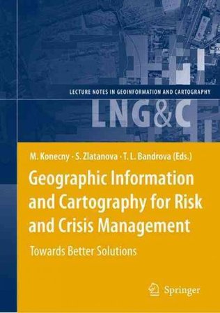
3. Bandrova T., Konecny M., Rusnakova M., Research of Students’ Cartographical Knowledge in Early Warning and Crisis Management. In Geographic Information and Cartography for Risk and Crisis Management. Lecture Notes in Geoinformatics and Cartography. ISSN 1863-2246, ISBN 978-3-642-03441-1 Springer Heidelberg Dordrecht London New York, 2010, pp. 361-378.
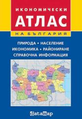
4. Bandrova T. Atlas of Bulgaria, Economics. ISBN 978-954-519-035-3, DataMap Europe, 2010, 64 pages.
5. Bandrova T., S. Bonchev, 3D Maps for Internet Application., 3rd ISDE Digital Earth Summit, CD Proceedings, Nessebar, Bulgaria, 2010, ISBN: 978-954-724-039-1
6. Bandrova T., Bulgarian Cartography: From Paper To Virtual Reality., 3rd International Conference on Cartography and GIS, CD Proceedings, Nessebar, Bulgaria, 2010, ISSN:1314-0604 (keynote presentation)
7. Bandrova T., 3rd ISDE Digital Earth Summit & ICA GIS, V1 Magazine, 2010, http://www.vector1media.com/events/event-coverage/14436-3rd-isde-digital-earth-summit-a-ica-gis
Editor:
M. Konecny, S. Zlatanova, T. L. Bandrova (Eds.)
Geographic Information and Cartography for Risk and Crisis Management. Lecture Notes in Geoinformatics and Cartography. ISSN 1863-2246, ISBN 978-3-642-03441-1 Springer Heidelberg Dordrecht London New York, 2010
T. Bandrova, M. Konecny (Eds.) 3rd International Conference on Cartography and GIS, CD Proceedings, Nessebar, Bulgaria, 2010, ISSN:1314-0604
T. Bandrova, M, Konecny (Eds.) 3rd ISDE Digital Earth Summit, CD Proceedings, Nessebar, Bulgaria, 2010, ISBN: 978-954-724-039-1
2009
1. Bandrova T., M. Konecny, M. Rusnakova, Cartography for Early Warning and Crises Management for Students’ Needs. Joint Symposium of ICA Working Group on CEW&CM and JBGIS Gi4DM “Cartography and Geoinformatics for Early Warning and Emergency Management”, January 19-22, 2009, Prague, Czech Republic, CD Proceedings, ISBN: 978-80-210-4796-9, pp. 59-67.
2. Vasilev S., T. Bandrova. The Specificities of the Symbol System for Navigation Maps. ICA Symposium on Cartography for central and Eastern Europe. Vienna, 16-17. February 2009, CD Proceedings, pp. 661-678.
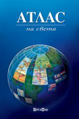
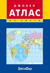
3. Bandrova T. Atlas of the World. DataMap-Europe, Sofia, May, 2009, ISBN 978-954-8717-95-3, 96 pages.
4. Matanov Hr., Bandrova T., Atlas History and Civilization on 11. Grade and Students, DataMap- Europe, Sofia, 2009, ISBN 978-954-519-034-6, 80 pages.
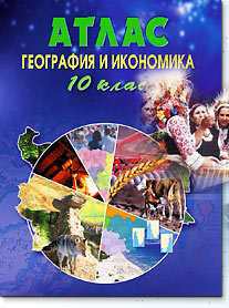
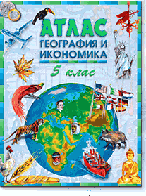
5. Bandrova T. Atlas Geography and Economics on 8.grade. DataMap-Europe, Sofia, 2009, ISBN 978-954-519-033-9, 80 pages.
6. Bandrova T., Blind Maps Geography and Economics on 8. Grade. DataMap-Europe, Sofia, 2009, ISBN 978-954-519-032-2, 16 pages.
7. Bandrova T. New, Geographically Correct, History and Civilization Maps. The Dialogue in History, 22-23, 2009, ISSN 1311-7904, pp. 111-117 (invited paper in 11th Conference of Association of History Teachers in Bulgaria with International Participation, 19-20.09.2009 г.).
8. Bandrova T.. International Cartographic Association became 50 years. Geomedia, No 5, 2009.
9. Bandrova, T., S. Marinova, J. Milanova. Natural Disasters Mapping for Crises Management. UACEG, International Conference UACEG 2009: Science & Practice, 21-31 October 2009, CD Proceedings. 12 pages.
10. Bandrova, T., S. Marinova, J. Milanova. Natural Disasters Mapping for Crises Management.Annual of the University of Architecture, Civil Engineering and Geodesy, Sofia. Fascicule III Geodesy, Vol. XLIV, 2009, pp. 143-154.
11. Jacqueline Anderson and Temenoujka Bandrova. ICA Commission on Cartography and Children. Canada / Bulgaria, Children Map the World, ICA News, No 53, December, 2009
12. Bandrova T. Cartographers Have to Work with Children Newspaper “Azbuki”No. 41, 2009.
13. Bandrova T., New Historical Atlases For Educational Needs. Proceedings ICC 2009, Santiago de Chile, Chile (http://icaci.org/documents/ICC_proceedings/ICC2009/html/nonref/29_2.pdf)
Editor:
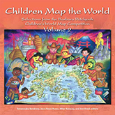
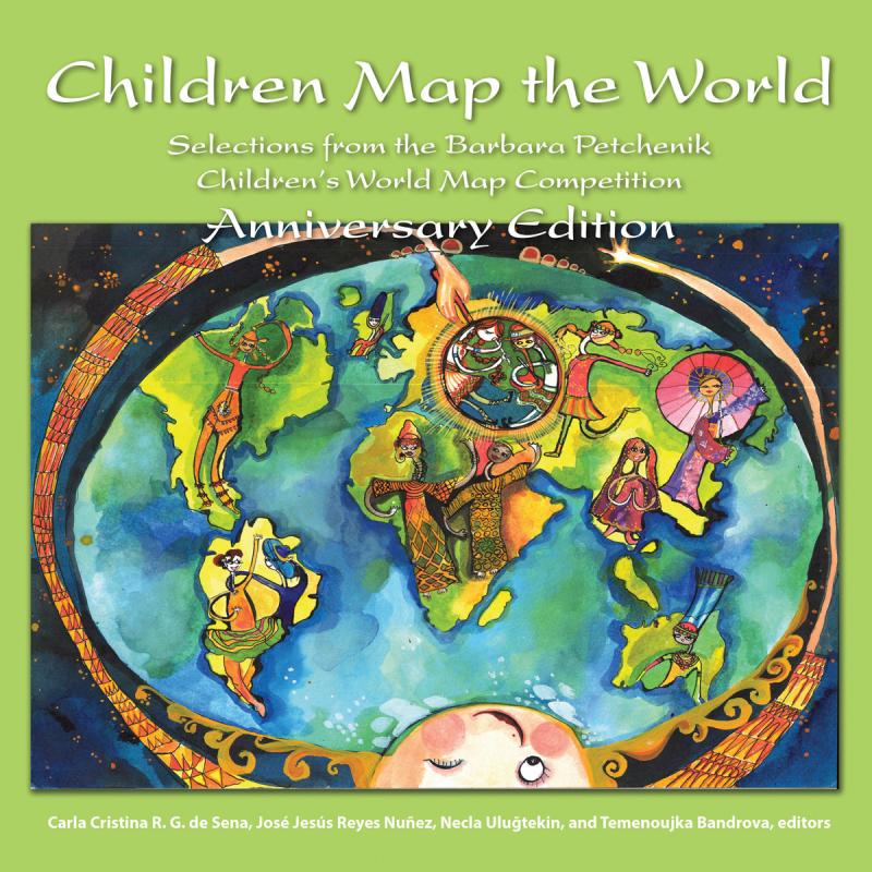
T. Bandrova, J. Reyes, M. Konecny, J. Atwal, editors. Children Map the World, Selection from the Barbara Petchenik Children’s Map Competition Volume 2. ESRI Press, Redlands, California, printed in the USA, ISBN 978-1-58948-246-3, 2009, pp.130.
Joint Symposium of ICA Working Group on CEW&CM and JBGIS Gi4DM “Cartography and Geoinformatics for Early Warning and Emergency Management”, January 19-22, 2009, CD Proceedings, ISBN: 978-80-210-4796-9
Edited by: Milan Konecny, Sisi Zlatanova, Temenoujka Bandrova, Lucie Friedmanova, pp. 696.